
MUNICIPAL UPDATE
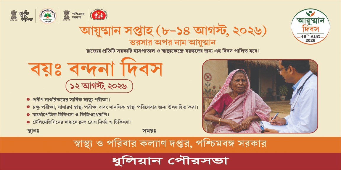
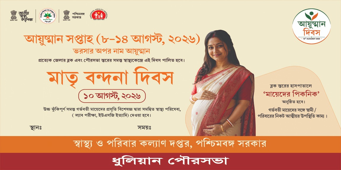
আয়ুষ্মান সপ্তাহ (৮–১৪ আগস্ট, ২০২৬)
আয়ুষ্মান সপ্তাহ (৮–১৪ আগস্ট, ২০২৬)
Public information, citizen services and municipal resources in one place.
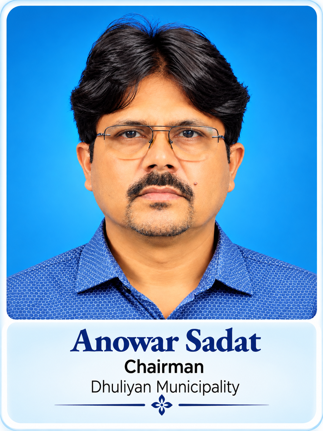
Dhuliyan is a very densely populated Municipality Comprising 21 No. of Wards in Jangipur Sub-Division of Murshidabad District. This Municipality was established in the year 1909 with 9 No. of Wards and population of 8,295. Its Distance from Sub-divisional Head quarter at Raghunathganj is 37 K.M. and that from district Head quarter at Berhampur is 94 K.M. Population of the Municipality has reached 95706 (As per Census 2011) whereas geographical Area of the Municipality remains 6.25 Sq K.M. only. Now the Municipality area is spread over Kanchantala, Anupnagar, Lalpur and few more Villages. Near about two third of the population belong to Muslim community and remaining one third belong to Hindu and Jain Community. Percentage of Literacy is 52.53.
Dhuliyan is located between river Ganges & Hooghly Canal. Soil erosion has shifted the town towards south-west from its earlier position . This town is mentioned as an Inland Water Transport (IWT) Trading point between Murshidabad and the city of Rajsahi in Bangladesh. Thus , this Municipality is surrounded by Farakka in the north, Aurangabad in the south, Jharkhand in the west and Ganges River & Bangladesh country in the east. It is within 56, Samsherganj Assembly Constituency & 8, Malda (South) Parliamentary constituency. Names of present M.L.A. & M.P. are Mohammed Noor Alam & Isha Khan Chowdhury respectively.
Dhuliyan is located between river Ganges & Hooghly Canal. Soil erosion has shifted the town towards south-west from its earlier position . This town is mentioned as an Inland Water Transport (IWT) Trading point between Murshidabad and the city of Rajsahi in Bangladesh. Thus , this Municipality is surrounded by Farakka in the north, Aurangabad in the south, Jharkhand in the west and Ganges River & Bangladesh country in the east. It is within 56, Samsherganj Assembly Constituency & 8, Malda (South) Parliamentary constituency. Names of present M.L.A. & M.P. are Janab Amirul Islam & Isha Khan Chowdhury respectively.

Murshidabad District, West Bengal
| Sl. | Particulars | Details |
|---|---|---|
| 1 | Name of the District | MURSHIDABAD |
| 2 | Year of establishment | 1909 |
| 3 | Area (in sq. Km) | 6.25 |
| 4 | No. of wards | 21 |
| 5 | Distance from District Headquarter | 80 km |
| Population — Census 2011 | ||
| 6 | Total Population | 95,706 |
| 6.1 | Male | 47,670 |
| 6.2 | Female | 48,036 |
| 6.3 | Total | 95,706 |
| 7 | Density of Population (Per sq. km.) | 15314.08/sq km |
| 9 | Date when last election held | 2022 |
| Assessment of Property | ||
| 10.1 | Total holdings | 29,850 |
| Literacy | ||
| 11.1 | Male | 27,538 |
| 11.2 | Female | 22,736 |
| 11.3 | Total | 50,274 |
| 11.4 | Percentage of Literate Population (2011) | 52.52% |
| 12 | Number of BPL Household (as per SUDA Survey) | 10,874 |
| Scenario of Slum | ||
| 13.1 | Total Slum Population (as per USHA survey) | 128 |
| 13.3 | Percentage of Slum Population to the total population | 68% |
| 14 | PMAY Housing for All | 12,000 |
| Sl. | Particulars | Details |
|---|---|---|
| 15. Road | ||
| 15.1 | Length of Metalled Road (in km.) | 157 km |
| 15.2 | Length of Non-Metalled Road (in km.) | 13 km |
| 15.3 | Length of other Roads (in km.) | 2 km |
| 15.4 | Total length of Road (in km.) | 172 km |
| 16. Drainage | ||
| 16.1 | Length of Kutcha Drain (in km.) | 4 km |
| 16.2 | Length of Pucca Drain (in km.) | 61 km |
| 16.3 | Length of underground / covered Drain (in km.) | Nil |
| 16.4 | Total length of Drain (in km.) | 65 km |
| 17. Water Supply | ||
| 17.1 | No. of Hand Tube well | 850 |
| 17.3 | No. of Overhead Reservoir | 3 |
| 18. Sewerage and Sanitation | ||
| 18.1 | No. of sanitary latrine constructed | 7,990 |
| 18.2 | No. of Community Latrine / Public Toilet | 7 |
| 19. Solid Waste Management | ||
| 19.1 | No. of Dumping Ground, if any | 1 |
| 19.2 | No. of Landfill site, if any | 1 |
| 19.3 | No. of Compactors, if any | 2 |
| 20. Street Light | ||
| 20.1 | No. of Light Post | 1,500 |
| 20.2 | No. of High Mast Light Post | 87 |
| 21. Health | ||
| 21.1 | No. of Hospital (ULB) UPHC | 2 |
| 21.11 | No. of UH & WC | 6 |
| 21.2 | No. of Municipal Health Sub-Centre | 10 |
| 21.3 | No. of Municipal Ambulances | 3 |
| 21.4 | No. of Death Body Carrier | 1 |
| 22. Education | ||
| 22.1 | No. of Higher Secondary School (others) | 5 |
| 22.2 | No. of Primary School (others) | 33 |
| 22.3 | No. of Sishu Siksha Kendras (SSK) | 38 |
| 22.4 | No. of ICDS Centre | 52 |
| 23. Other Infrastructure | ||
| 23.1 | Parks | 1 |
| 23.2 | Playground | 3 |
| 23.4 | ULB Market | 1 |
| 23.5 | Burning Ghat | 1 |
| 23.6 | Electric Crematorium | 1 |
| 23.7 | Burial Ground | 19 |
| 23.8 | Public Library | 2 |
| 23.9 | Ferry Ghat | 1 |
| 23.10 | Cess Pool | 1 |
| 24. Community & Livelihood Support | ||
| 24 | No. of Self Help Group | 851 |
| 24.1 | No. of ALF | 21 |
| 24.2 | No. of CLF | 1 |
| 24.3 | No. of Shelter for Urban Homeless (SUH) | 1 |
| 24.4 | No. of Nirmal Sathi | 23 |
| 24.5 | No. of Nirmal Bandhu | 150 |
The profile above is rendered entirely with HTML/CSS data cards and tables, so the municipality statistics remain selectable, searchable and responsive instead of being locked inside a single image.